Hawaii, American Samoa, and an Unexpected Week in Utah Park TripUncategorized Hawaii, American Samoa, and an Unexpected Week in Utah
Cameron Turns 16! Las Vegas and Death Valley Birthday TripFamily TripPark Trip Cameron Turns 16! Las Vegas and Death Valley
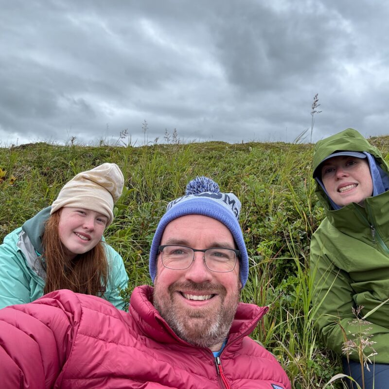
Alaska Adventure: Lake Clark & Katmai National Parks Park Trip Alaska Adventure: Lake Clark & Katmai National Parks