Eastern Sierra

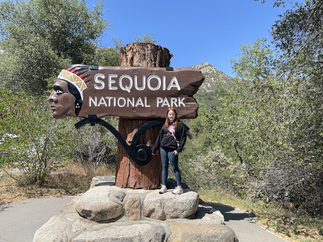
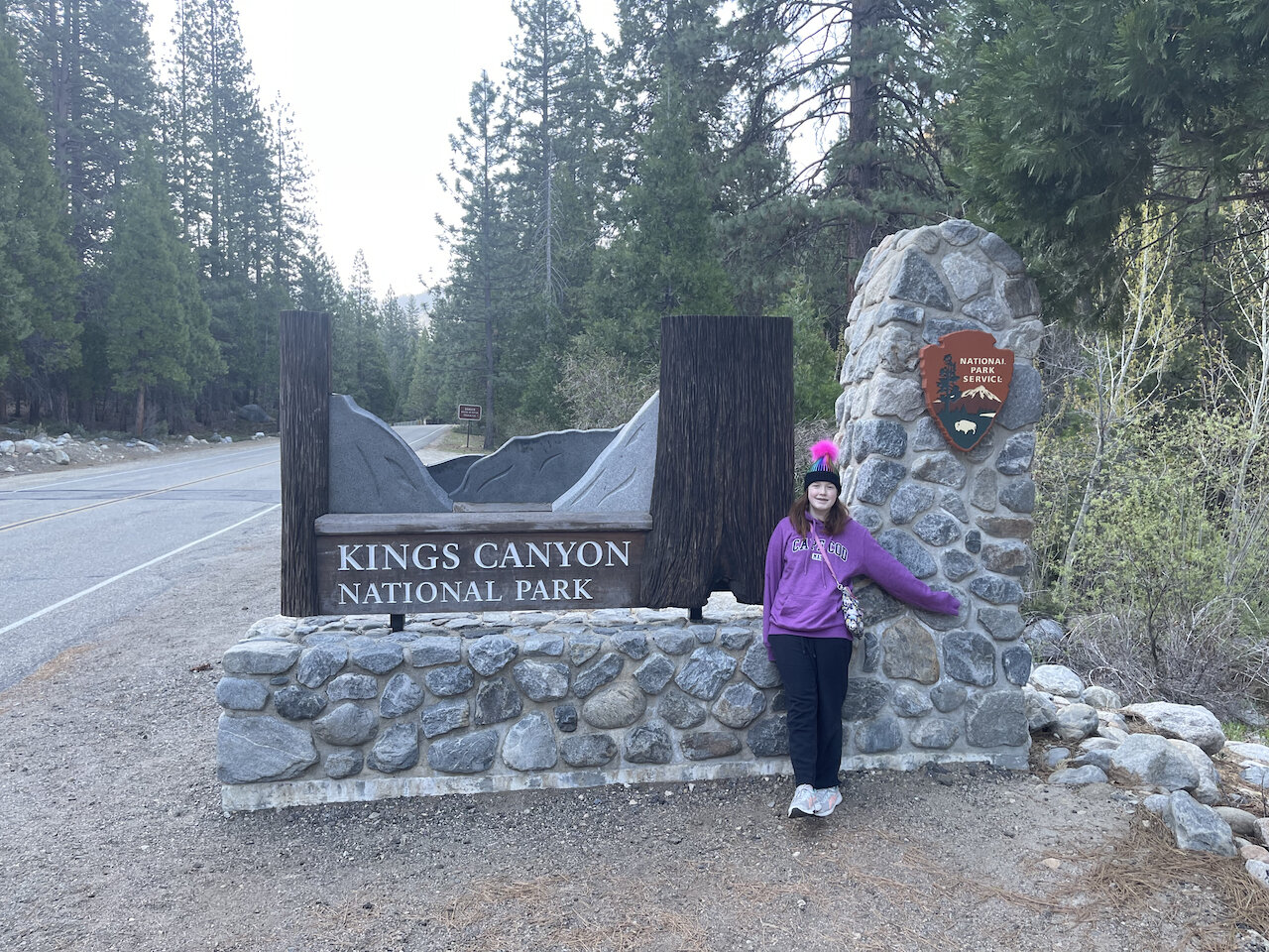
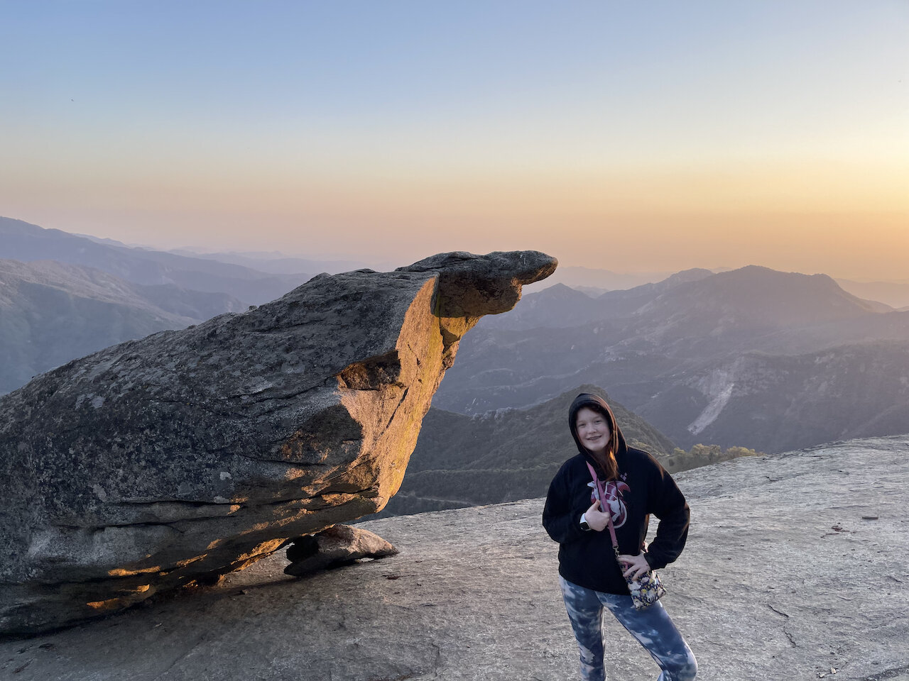
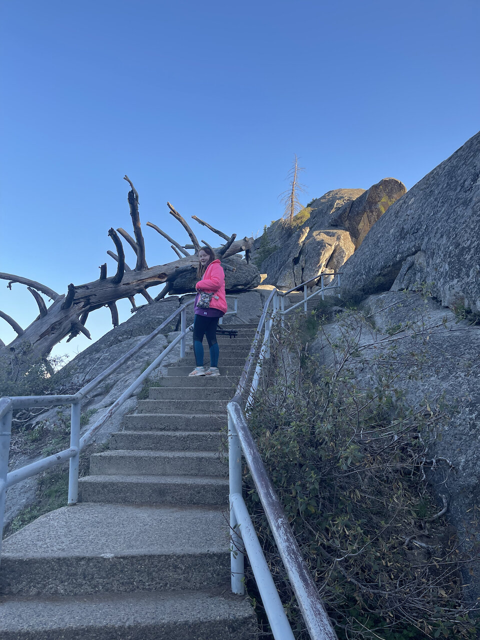
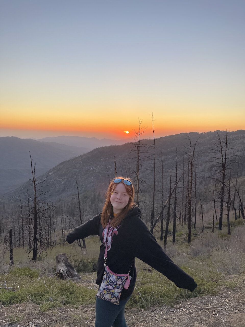
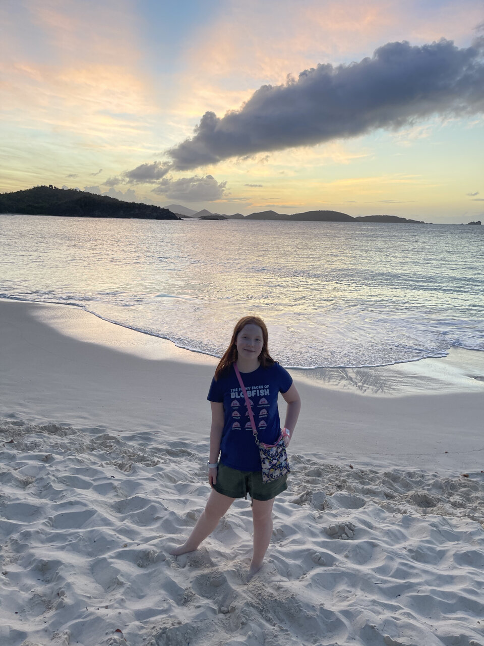
In late August 2021 we took our annual family vacation, this time to the Eastern Sierra. This was a bit different than in years past where we have focused on one or two parks. I had been to the Eastern Sierras years ago (too many to count) and wanted to share that experience with my family. It was also one of the few western places that was (sadly) not on fire. Even though there was no direct fire, there was plenty of smoke from the numerous fires that were burning in northern California. 

IMG_5607.jpeg

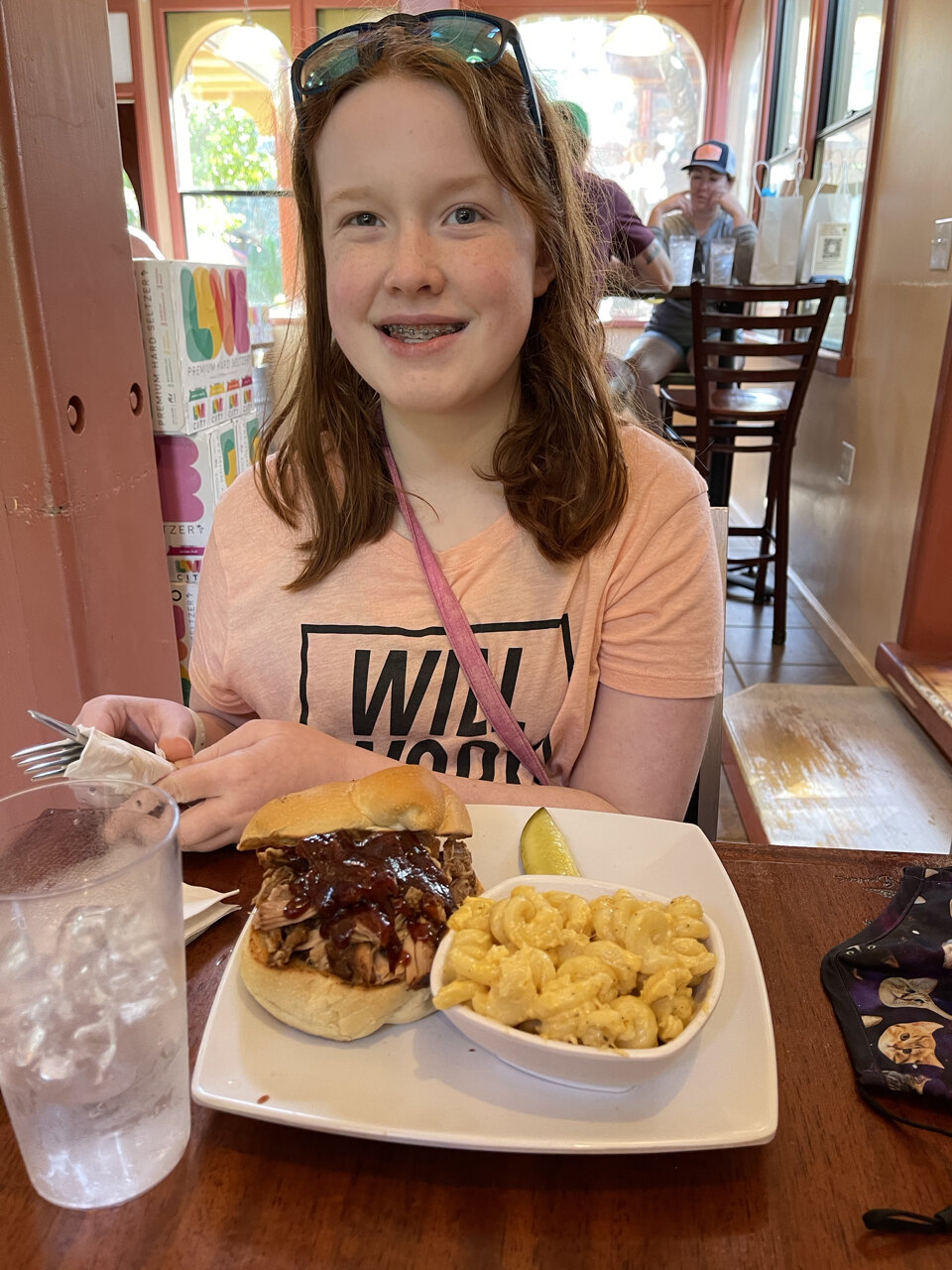
We flew into LA only because it was the most cost effective option. It was sort of a long drive to get all the way to rt395 and the eastern Sierra. On the other hand it's only slightly faster to drive from Las Vegas and it was more than twice the price.  We stayed in Mammoth Lakes California, almost in the middle of all the things that we wanted to see. It’s a really fun, active town. In the winter it's a full on ski town, but in the summer it's full of hikers, mountain bikers and other people looking for outdoor adventure. There are many cool local places to eat, drink and shop. There was also live music downtown every night that we could experience from the balcony of our hotel room. 

IMG_5771.jpeg

We stayed at the Westin right in the middle of downtown. It was really almost too nice of an experience as now the bar is set REALLY high for whatever we do for a vacation next year. That said, if you're heading to the area I can’t recommend The Westin Monache Resort strongly enough. 

So what is there to do in this place?  The answer is lots and everything. 

Mono Lake is the first answer. A 760,000 year old, saline soda lake in the Great Basin.  We came to this lake two different mornings for sunrise. The lake is known for its Tufa Towers - columns of limestone that rise above the surface of Mono Lake. It does make the lake look like it's from another world. There are wonderful hiking trails all around the lake, so we would explore the area and enjoy the views of the lake with the high Sierra in the background. A bonus for Mono Lake is the vibrant bird life. The lake is chock full of brine shrimp who thrive in its waters.  Not to suprivingly these shrimp attract a wide variety of birds who make the lake their home for part of the year. 

IMG_5669.jpeg

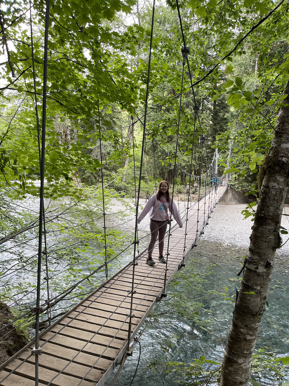
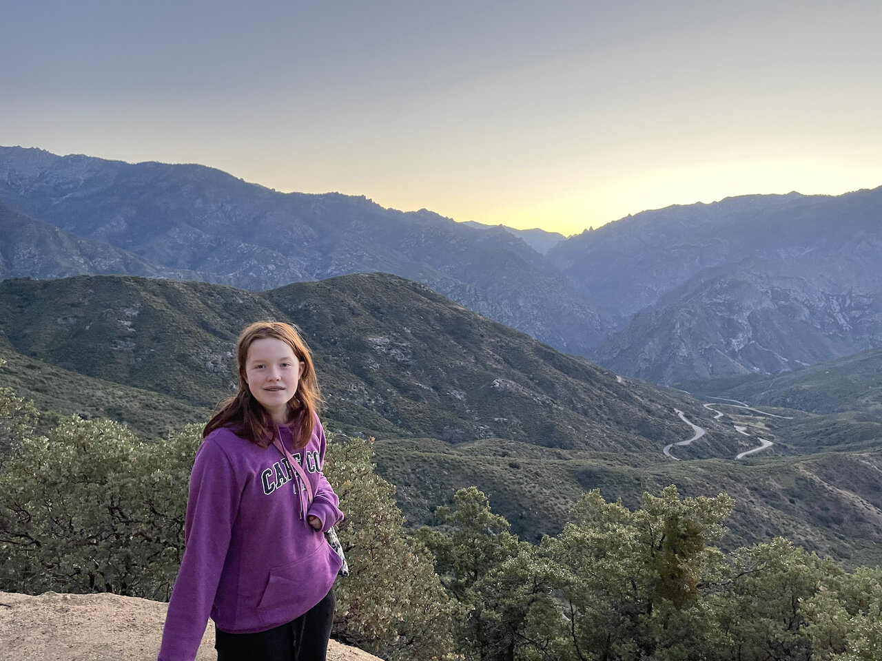
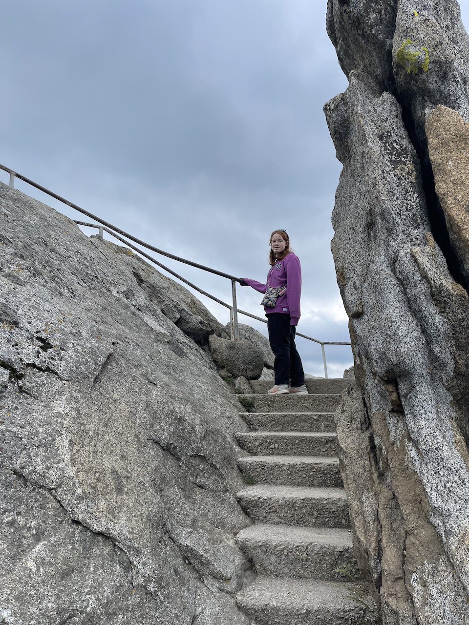
Mono Lake is right in Lee Vining California and the next thing to know is that in the mid-summer to early fall Tioga Pass is open. That allows you access to Yosemite National Park. Tioga Pass is the highest mountain pass in California and offers some of the best scenery of any drive in the United States. Many visitors (dare I say most) to the park spend the majority of their time in the main valley. Never venturing out to see the wonders of the high country of Yosemite. 

The pass starts in Lee Vining and will bring you all the way to Yosemite Valley. It was first known as the Great Sierra Wagon Road built in the 1880s to move ore in and out of the Great Sierra Mine on Tioga Hill.  The road was donated to the park in 1915 and was open to the public under the name Tioga Road. Due to its high elevation it receives a lot of snowfall

 in the winter and is closed for the season. It opens sometime in the mid summer depending on how long it takes to remove all the snow and make repairs as needed. 

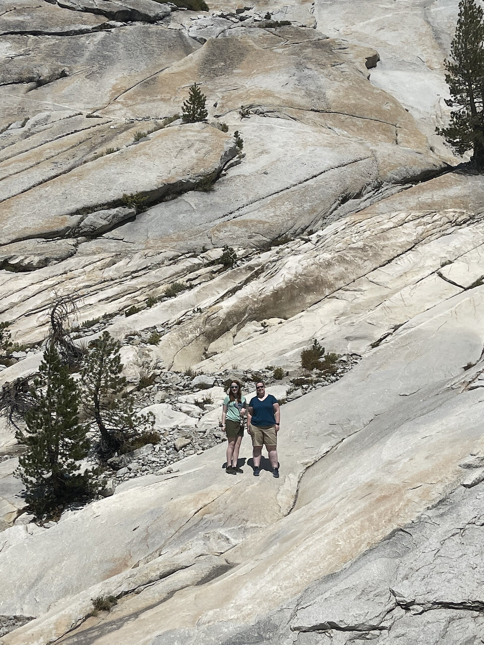
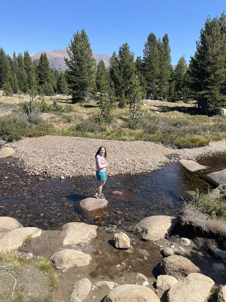
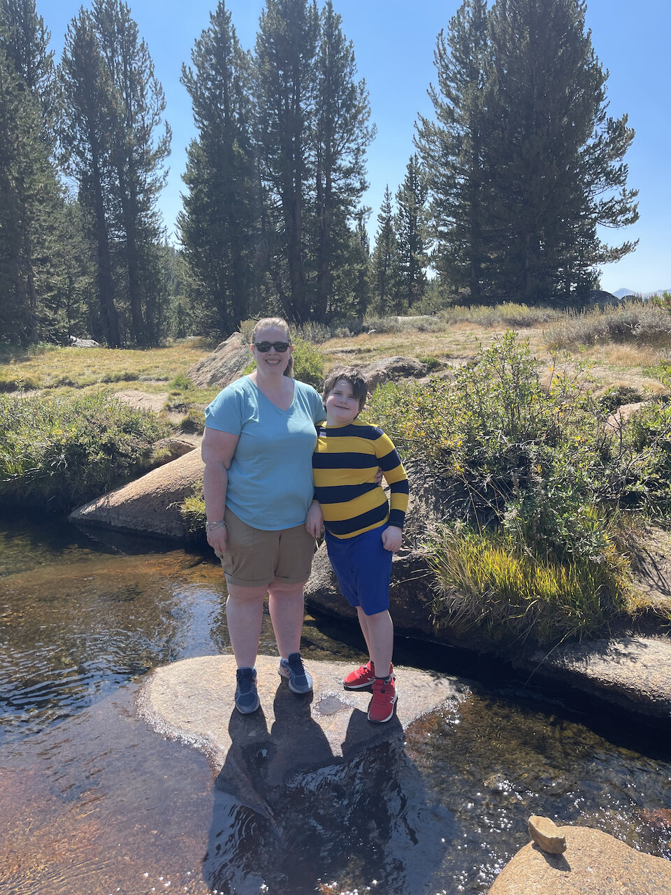
The road leads you through all manner of natural wonders. From massive open meadows full of streams and wildlife. To small dome mountains that make for an easy hike, to massive snow capped peaks and wonderful lush high mountain forests. (Cat feel free to look up more, add / remove whatever).

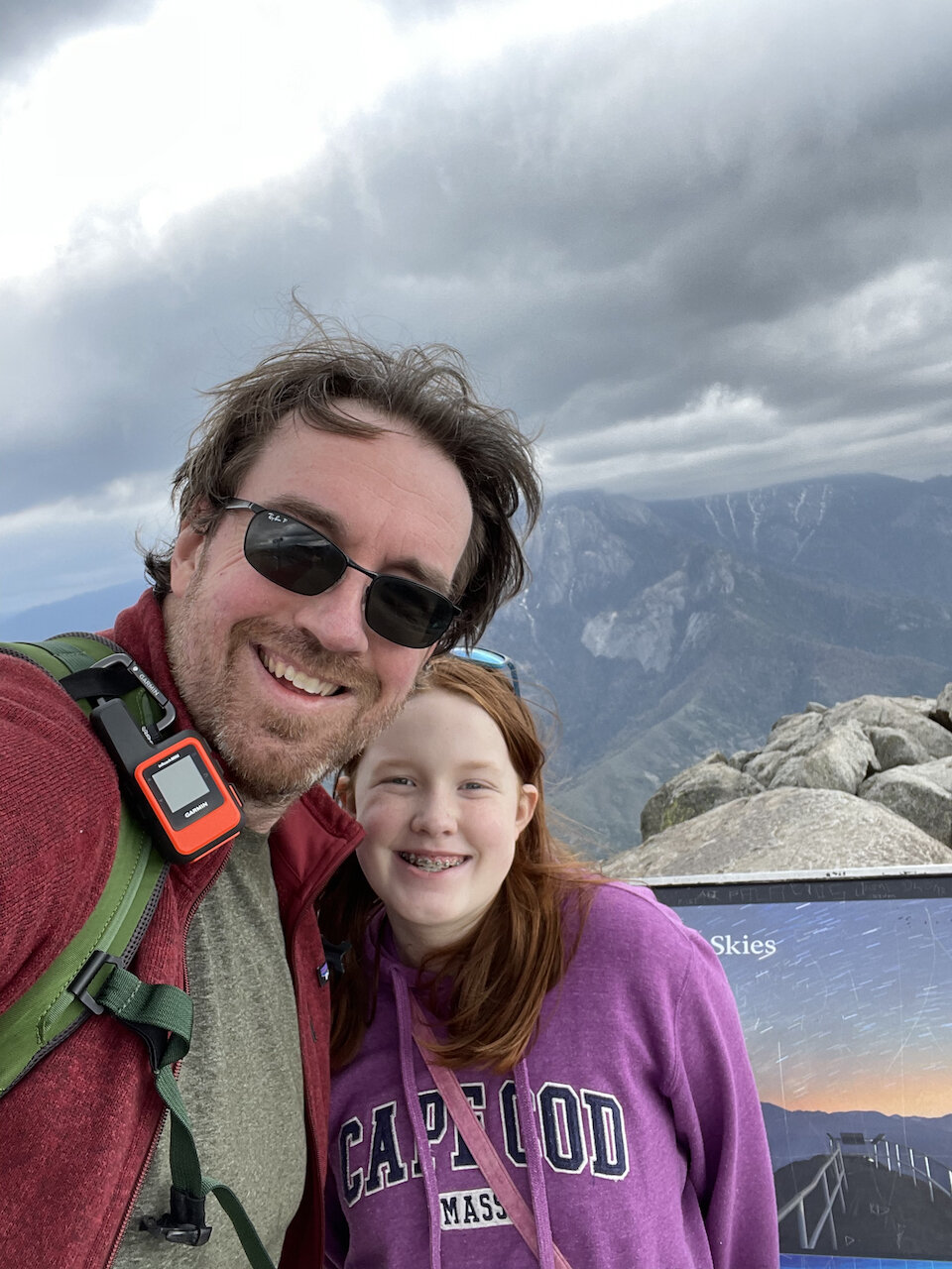
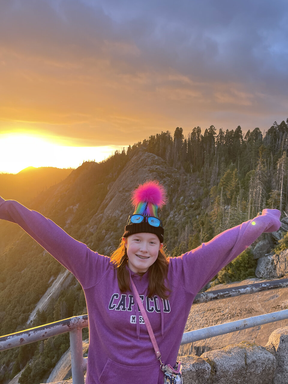
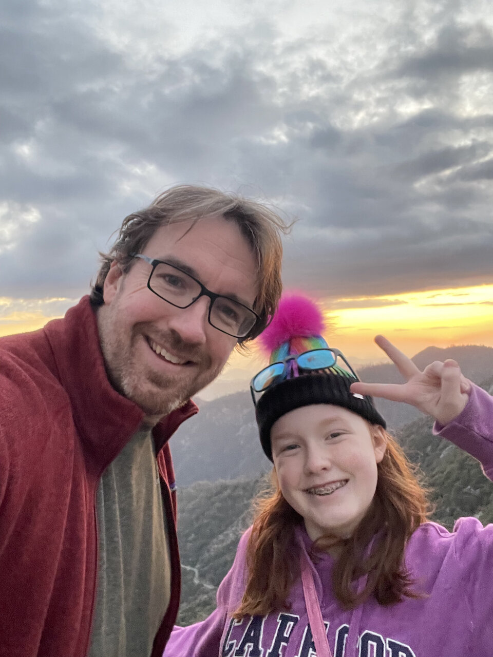
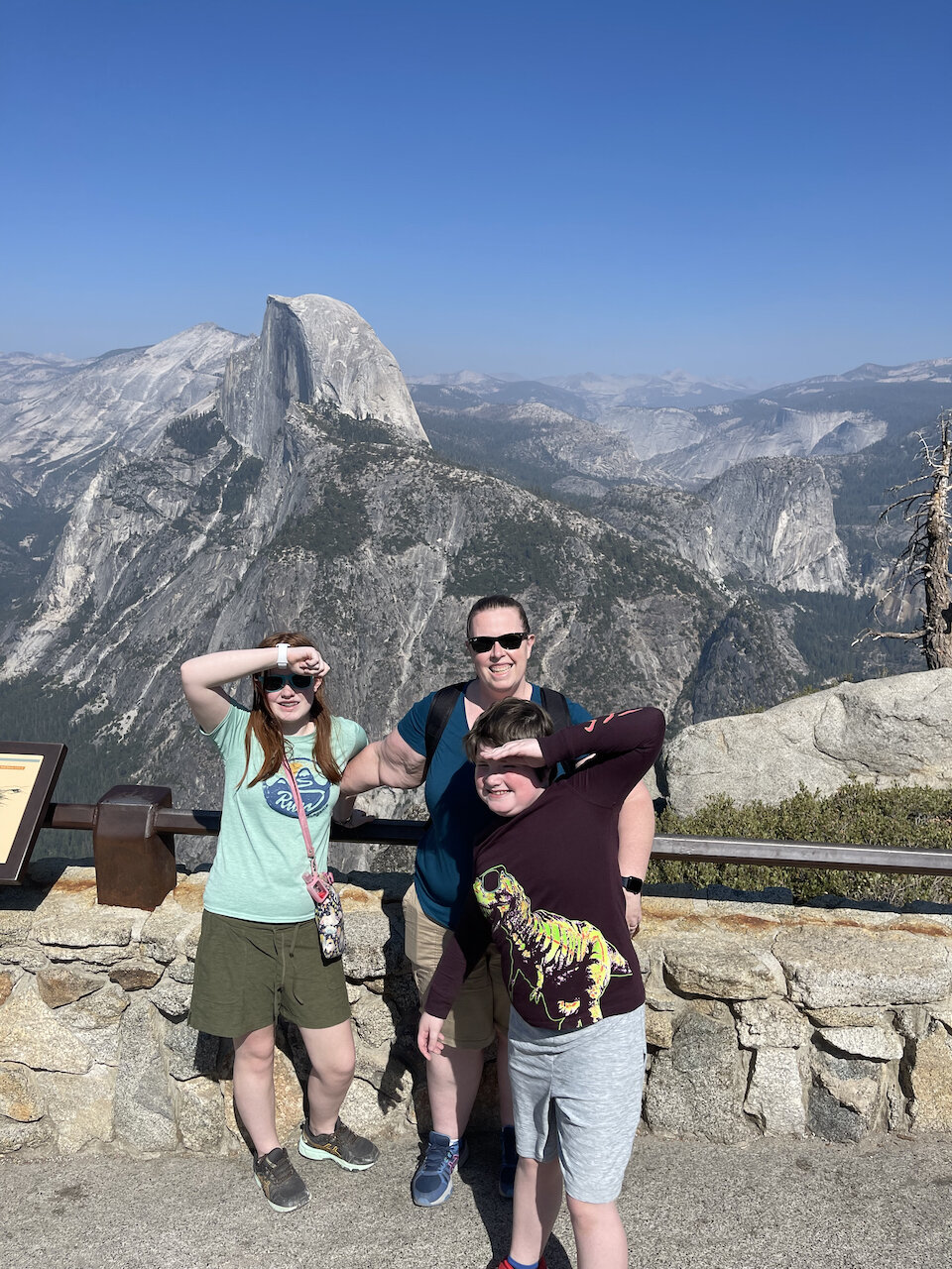
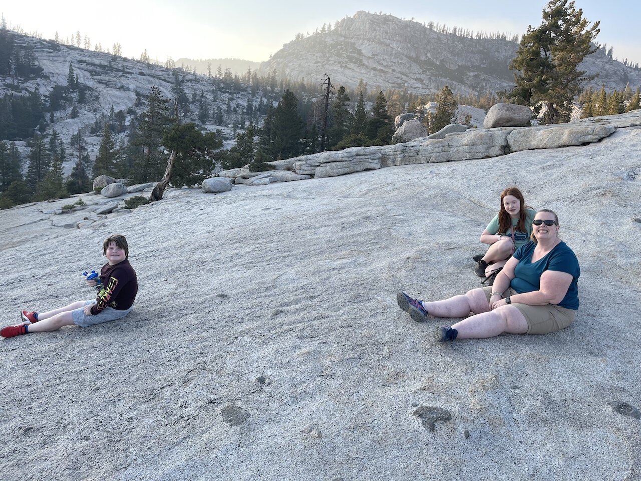
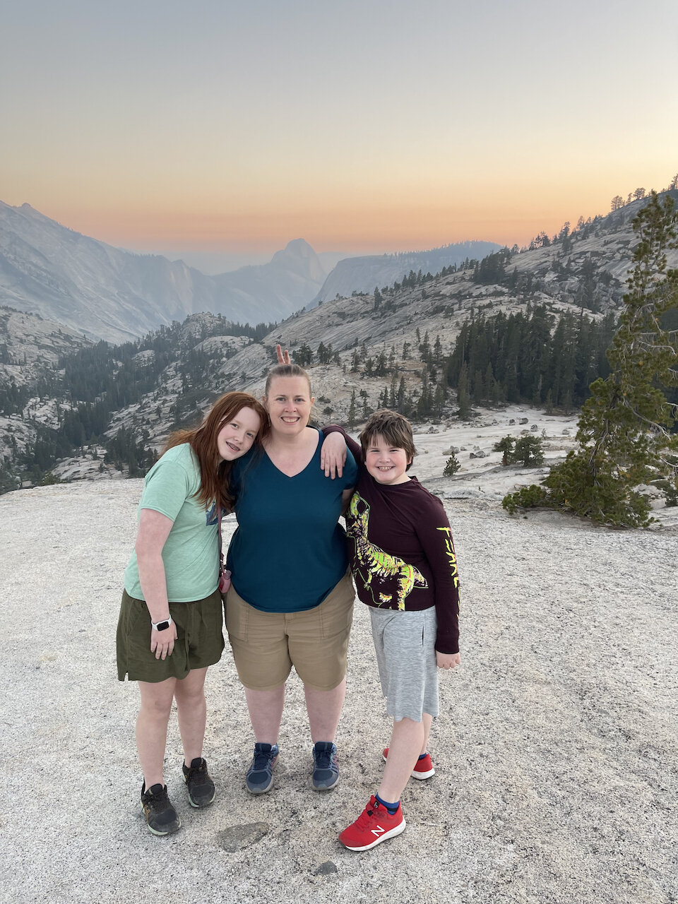
We went into Yosemite twice, the first time we drove the entire road and went down into the valley. We did the normal stuff one does in the valley, had some lunch, went to the park store and visitors center. We stopped and explored some of the usual stunning views one sees from the valley floor. On the first trip we went all the way up to Glacier Point and walked around the area for a bit, this still may be the best view in all of Yosemite. For sunset the first time we stopped at Olmsted Point and hiked down a bit to find an open area.  Olmsted Point provides amazing views of the backside of half dome and Tenaya Canyon. The smoke made making a great sunset photo hard, but the family seemed to enjoy the view.

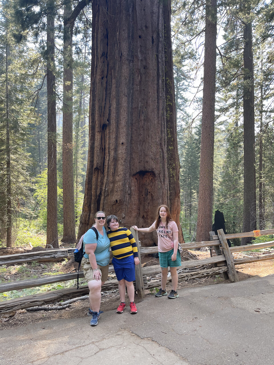
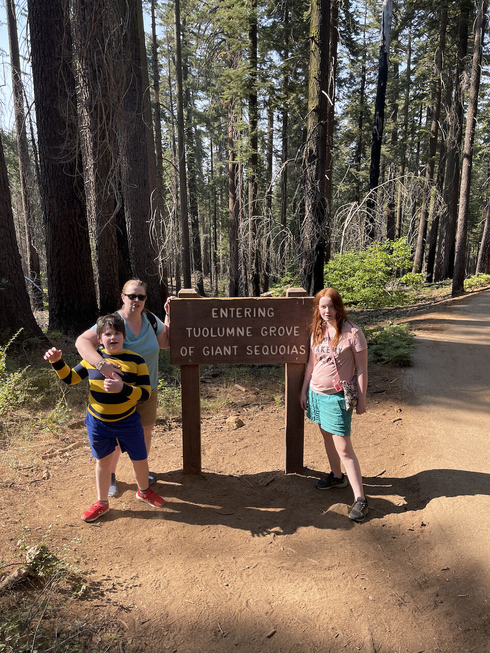
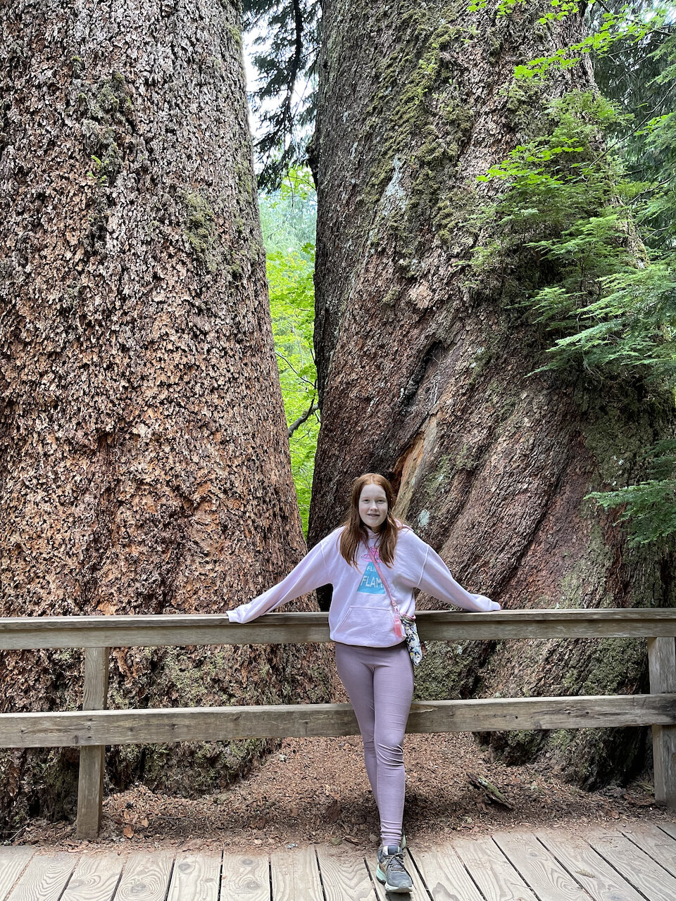
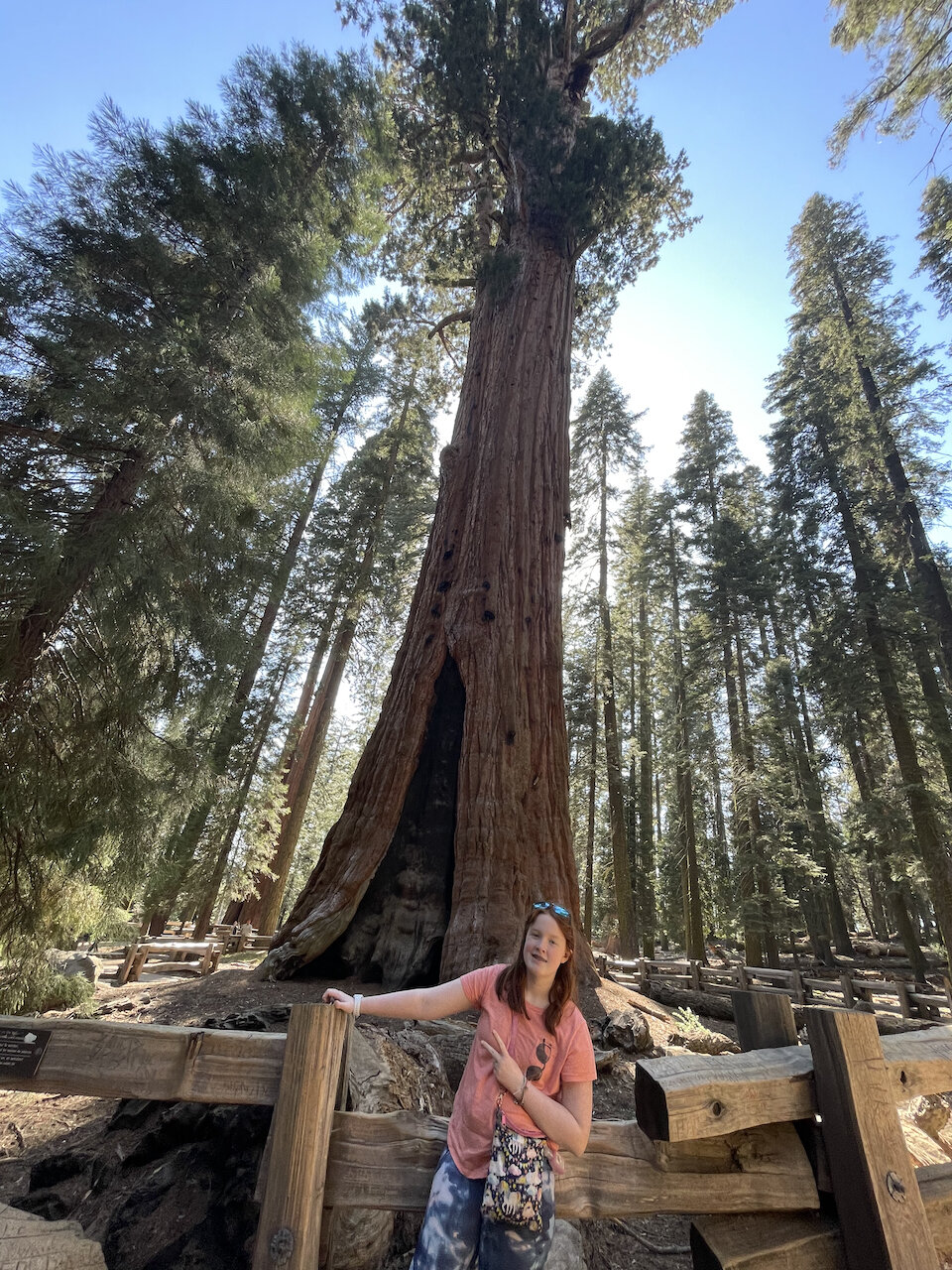
Our second trip into the park we explored and had lunch in the Tuolumne Meadows. We then headed down to the Tuolumne Grove like the name implies a giant sequoia grove. There is about a 2.5 mile out and back trail that we took as a family. You have to walk downhill all the way to the grove, but it’s well worth the trek. Everyone enjoyed seeing these magnificent trees up close, though I’m not sure both my kids liked the walk back up to the car. 

For both of our trips into the park we were pleasantly shocked at how few people there were in the park. It seems that by late August most people had already finished their summer trips and were back to their normal school / work life.

IMG_5788.jpeg

The other local spot we hit up for sunrise was Brees Lookout at Hot Creek in Mammoth Lakes. A truly odd and marvelous place, under the winding river close to the earth's crust is lava. This gives us the hot springs and the pockets of steam rising from the earth on an early chilly morning. I found an overlook where we could get a great view of the river and in the background the sierra mountains. 

The last main attraction on our trip was a visit to the old ghost town of Bodie.  Bodie is a California state park that is a town frozen in time. The aim of the state park is to protect the ghost town and allow it to decay in a natural way.  Right off of highway 395 there is a 13 mile bumpy and dusty dirt road that leads to this wonderful place. Bodie was at one point a large mining town, full of houses, bars, offices, churches and everything else you would expect in a western boom town. As the mining dried up the people left, and what is truly amazing is that many folks left everything behind. It’s odd and cool to walk the street and get a sense for what life must have truly been like in a western boom town! The one room schoolhouse still had drawings on the chalkboard and entire houses were left fully stocked with everything from kitchen to bedroom furnishings. Cami kept hoping to catch a ghost in one of the windows or in one of her photos but she didn’t report any success. 

Chris Blake
Glacier National Park

After a (too) short visit to the North Cascades, we made our way to Glacier National Park. Route 20 was closed due to the Walker Creek Fire, so we had to go the very long way around. We split the drive up over two days and spent a night in Spokane to save us from a 12-hour single day drive.  The western wildfires sadly did not only impact our driving times, the massive amount of smoke that they produced would affect us every day in the park. 

IMG_4918.jpeg

Despite the smoke, the park was very crowded. For the summer of 2021 many of the National Parks had been receiving record-setting numbers of visitors. Due to the mass overcrowding Glacier and other National Parks set up a timed entry system. We were fortunate to be able to secure passes for each day we were at the park.  However, the entry passes were only required during the day so people could still get into the park very late in the afternoon or early in the morning. We could start right after sunrise and stay until after sunset and the park would become very crowded. Driving even short distances could take twice as long as it should under normal circumstances. 

Glacier is a massive park encompassing more than 1 million acres in northern Montana. Glacier is a park of the Rocky Mountains, there are at least 150 named mountain peaks over 8,000 feet. The highest peak in the park is Mount Cleveland at 10,479 feet. The park contains over 130 named lakes, 1,000 different species of plants and hundreds of species of animals. It has been referred to as the “Crown of the Continent Ecosystem”. 

The mountains of Glacier National Park have been carved by glaciers over 12,000 years. Almost all the original glaciers have long since disappeared. In the mid-19th century, there were an estimated 150 glaciers in the park. Only 25 active glaciers remained by 2010. Sadly, it is estimated that all the active glaciers may disappear by 2030 if we don’t drastically improve our climate. 

IMG_5117.jpeg

Archeological evidence has found that Native Americans first arrived in the Glacier area 10,000 years ago. The Blackfoot lived on the eastern slopes of what later became the park. The Blackfeet Indian Reservation now borders the park in the east while the Flathead Indian Reservation is located to the west and south of the park. 

In 1806 the Lewis and Clark Expedition came within 50 miles of the current area of Glacier Park. Numerous explorations in the 1850s helped to shape the understanding of the area that is now the park.  In 1885 George Grinnell hired James Schultz to guide him on an expedition into what would become the park. Grinnell was so inspired by the vast beauty of the area that he worked for 20 years to help form the park. It was Grinnell that coined the term “Crown of the Continent”. 

After years of lobbying and going through various forms of protection in 1910 President William Howard Taft signed a bill from Congress creating Glacier National Park. The first and only real access to the park was by train. The Great Northern Railway crossed the continental Divide at Marias Pass and built a train station adjacent to the park.  The Great Northern Railway built a number of hotels, restaurants and shops. Some were modeled after Swiss architecture.  Many of these amazing structures are still there today and in total there are 350 buildings in Glacier listed on the National Register of Historic Places. 

IMG_5095.jpeg

The most well-known road in the park, and maybe one of the most notable roads in the world, is the Going to the Sun road. Completed in 1932 it is the only road that goes deep into the backcountry of Glacier. The 53-mile-long road bisects the park and brings you over the Continental Divide at Logan Pass some 6,646 feet above sea level. 

For our trip we stayed in Whitefish, Montana. It’s about 40 minutes from West Glacier and the main park entrance. We wanted to stay in the park, but ALL the hotels booked up within minutes and we had no luck finding a room inside the park. However, Whitefish turned out to be a wonderful town. It’s a resort town in the Rockies with great views, shopping and restaurants. It did make the days a little longer for driving but gave us lots of good options for food and entertainment. 

Our first day in the park we spent trying to get our bearings. We headed into the west entrance and drove around the Lake McDonald area. We got out and explored the waterfront before heading up Going-to-the-Sun-Road. We drove around looking for locations to watch the sunset, stopping at the pull-offs along the switchbacks. We came back down and found a random small parking lot next to Lake McDonald and hiked around the lake shore until finding a great spot to watch the sunset. 

IMG_5004.jpeg

The next morning, we headed in super early to the Wild Goose Island Lookout. This may be the most famous view in the park and interestingly also used in the opening to the movie The Shining. Sadly, the smoke from the wildfires really put a damper on the sunrise. Right after the sun came up, we drove to the trailhead for Saint Mary Falls. It was a truly wonderful hike with amazing views all along the way. The falls themselves were in full flow and was a great end to the morning. 

We spent the afternoon in town before heading back to the park. However, this time we drove all the way south to the Two Medicine Lakes area. This was an amazing experience, great views even with the smoke. While the drive over to the area was SUPER long it was also full of beauty and wonder the entire way. 

IMG_5154.jpeg

After sleeping for not nearly long enough, in the pre-dawn hours we went back into the main area of the park. This time we spent sunrise at the Lake McDonald area. The smoke was just starting to break up and we had a rather nice and peaceful sunrise. Since it was still super early, we hiked the Lower McDonald Falls trail for a while.  Afterwards, we enjoyed a wonderful pancake breakfast in the Apgar Village area. We did get a chance to check out the visitor’s center after breakfast. 

The rest of the day we explored different areas along Going-to-the-Sun-Road and for sunset we hiked to the Hidden Lake area. It was the first evening without any smoke and we had a wonderful sunset on top of the mountain. However, on the way down, tired for a long day, I was clumsy for a second, tripped and rather hurt myself. I’ll expand on this sometime later. 

We stayed in the next morning and I tried to recover a bit. The next afternoon though we went back into the park. We had a great round of mini golf in West Glacier before driving around and spending our last sunset in the park. 

Sadly, the next morning we had to head back to Seattle, this is yet another park that we must go back to. There are a million more things for us to see and do here and the few days we had were not enough.  We sadly never got a chance to see the Many Glacier area of the park. 

We did get to spend one last night in Seattle and hung around Kerry Park and had a rather nice sunset there with the city in the background. 

Chris Blake
North Cascades National Park

We left Mt Rainier and headed up to the North Cascades National Park. This would be park 35 and was supposed to be a 2 and a half day camping trip. However, we ran into a few issues right off the bat. The original plan was to spend a few days in the North Cascades and then take rt20 (North Cascades highway) west and go to Glacier National Park. To be honest our main focus of the trip was supposed to be Glacier. However, two massive forest fires (Cedar Creek and Varden) closed twenty miles of the highway. There is no ‘fast’ way to go around and our already long planed drive to Glacier became 5(ish) hours longer. We opted to stay only one night in the North Cascades and break up the drive into two days. This was the best of all the bad options. 

None the less we pressed on and explored what we could in the day and a half we had in the park. The best take away from this short trip is that we need way more time to properly explore this amazing park.  The park is a massive 500k acres divided into two main sections (north and south) with rt20 running almost through the middle of the park. 

IMG_4823.jpeg

While efforts to preserve the area started in the late 1800s, its main early protection was through the National Forest Service.  The area did not become a National Park until 1969 when Congress created both the North Cascades National park AND the Lake Chelan National Recreation Area.  Additionally large tracks of adjoining land were designated as the Stephen Mather Wilderness. 

IMG_4853.jpeg

We stayed at one of the three campgrounds in the Ross Lake National Recreation Area. This is off of rt 20 that cuts east to west throughout the park. While a National Recreation area it is run and maintained by the North Cascades National Park Complex. This area has three major lakes, George, Diablo and Ross Lake.  This area also has three major corresponding dams built in the 1920s-1950 that provide a significant amount of power to the Seattle area. 

Since our time was very limited we spent it exploring the areas around rt20, the lakes, dams and the North Cascades Visitors Center. We spent both sunset and sunrise at one of the overlooks at Diablo Lake. The campsite was nice but very crowded and very loud. Most visitors are there to either go off into the extensive back country or partake in some water activities.  While this area is nice it's all inside of a valley and hard to get a real “feel” for the cascades. 

As I’m writing this I have  become determined to return and explore the northern section of the park. I would camp around the Heather Meadows Visitors center and explore the high country of that area.  This area provides stunning views of Mount Baker and the Cascades in general. 

Chris Blake
Mount Rainier National Park

Mount Rainier has a few main sections, the largest and most popular is an area known as Paradise. This has a massive visitors’ center, hotels, ranger station, and some other attractions. This area sits on the south side of the mountain and is a very popular spot for those who want to hike up some or all the mountain. The other major area in the park is known as Sunrise. It has stunning views of the mountain from both the parking area and from the numerous trailheads that venture out of the area. 

IMG_4739.jpeg

We stayed just outside of the park on the southwestern side. This was very convenient for the Paradise area, however it meant long days of driving two or three hours each way to explore the far reaches of the park.  We stayed in Ashford, a tiny (and I do mean tiny) ‘town’ that sits just outside of the park's border. There you can find several small local hotels and a handful of restaurants. Be warned that if you forgot anything you’ll have to do a decent amount of driving away from the park to find anything but basic supplies. Also, as we found if you arrive back later in the evening be prepared for everything to be closed. 

IMG_4720.jpeg

Mount Rainier is an active stratovolcano in the Cascade Range located around 59 miles southeast of Seattle. Its summit has an elevation of 14,411 feet making it the highest mountain in the Cascade Range. It’s a very prominent mountain that on clear days can be seen from the city. Mount Rainier is considered one of the most dangerous volcanoes in the very high probability of a future eruption putting around 80,000 people at risk. The mountain has 29 named glacial features covering about 30 square miles on the mountain's surface. These stunning features make for beautiful views but add to the risk of a large-scale eruption. If Rainier were to erupt with the same strength that Mount St. Helens last did, the effect would be cumulatively greater because of the massive amounts of glacial ice. 

Mount Rainier has a long history of human inhabitants dating back at least 8,500 years. When the first Europeans arrived in the area, they encountered Native Americans who hunted and gathered in the valleys and meadows around the mountain. 

John Muir climbed Mount Rainier in 1888 and was an early advocate for protection of the mountain and surrounding area. In 1893 the area was set aside as part of the Pacific Forest Reserve.  In 1899 President William McKinley established Mount Rainier National Park as the fifth national park.  Congress dedicated the new park “for the benefit and enjoyment of the people and for the preservation from injury or spoliation of all timber, mineral deposits, natural curiosities, or wonders within said park, and their retention in their natural condition."

Its proximity to Seattle means that in the summer months, when the weather is nice, it can be very crowded. When we went into the park early (before dawn) it was not a problem but as soon as the sun came up the park was packed with people. When we headed out in the middle of the day, we would have to wait for over an hour just to get through the gate at the Nisqually Entrance. On our last day we took the 1.5-hour drive around the park to the east entrance just to “save time”. 

We had three days in the park and explored most of the area. The first day and a half we had so many clouds that you could not see the mountain at all. While a significant disappointment we made the best of it. We stopped at the Longmire Visitors Center and spoke with the rangers there before heading deeper into the park on our first day.  Longmire was first discovered in 1883 as a mineral spring and led to the first established spa and hotel in the area. There is still a hotel there today you can stay in, though in the peak of summer it is considerably expensive. 

We tried to head to the Paradise area to hike but it was so enshrouded in clouds that you could not see anything. Instead we did the hike at the Grove of the Patriarchs which was truly amazing. The trail is easy and leads you to a suspension bridge over the Ohanapecosh River to a small island of behemoth old-growth trees. While it is not quite as massive as the redwoods in California these old growth Douglas-firs are massive with some almost 300 feet tall and 40 feet in diameter. We did this hike again the next day just because it was SO much fun.  We drove to and hiked around the Tipsoo lake area but again with the clouds the views were very poor. We spent the sunset driving around the main road and ended up with a glorious view of the Tatoosh Range with storm clouds and wonderful color for sunset. 

After another cloudy sunrise at Tipsoo lake we took the long, almost 3 hour, ride up to the Sunrise area. Here you find the highest elevation you can drive to in the park and amazing views of the mountain and surrounding area. You also will find what feels like endless meadows full of wildflowers in full bloom for us. We hiked around and explored the area and even visited the gift shop. 

For sunset we tried Tipsoo lake, and it started off very promising. With a clear view of the mountain and a handful of clouds to make it interesting. However, as time passed the clouds came in and fully blocked the view of the mountain.  It was a long day at this point, and we packed it in. 

IMG_4628.jpeg

Our last (half day) in the park started at Reflection Lake where we finally had a clear morning and a wonderful sunrise looking at the mountain. After we headed towards Paradise to get our passports stamped before we headed onto the next park. As a side note we tried to go to Paradise the day before, but the parking lots were so full that the NPS had closed them and people were parking miles away. If you want to start a hike from here in the summer, you should plan on arriving before sunrise. 

One last note about where to stay, we chose the Alexander Lodge just outside of the Paradise entrance. When we booked there were not many options open and with COIVD we could not be too picky. It was a ‘fine’ place to stay but if you do stay here be warned that it’s in no way a ‘normal’ hotel / motel / lodge/ It’s a 115-year-old mansion, every room is very different. While it does have some wonderful charm, the two massive staircases up to a tiny room was a bit rough. 

After we finished up in Rainier, we headed out to the North Cascades National Park. 


Chris Blake
Kings Canyon and Sequoia National Parks

In mid May Cami and I once again found ourselves heading back to California. This time to visit Kings Canyon and Sequoia National Parks.  We spent the better part of 10 days exploring both of these amazing parks in the Sierra Mountains.  Since the parks are almost alongside one another we will cover both parks in the same blog. 

These parks both span an enormous amount of land and if you plan to see both of them you must commit to spending a decent amount of time driving and being in the car. The closest town to Sequoia is Three Rivers however, that puts you a very long drive inside of a park away from Kings Canyon. Also, while a stunningly beautiful town in the foothills of the Sierra, Three Rivers does not offer much in terms of internet access or cell phone service. This was a problem for both work and school on our week-long plus trip.  There are also a few hotel / motel options on Highway 198 going into Kings Canyon. They presented the same challenges as Three Rivers. 

IMG_3956.jpeg

We stayed in Visalia, in the agricultural San Joaquin Valley of California. It's a few hours south of San Francisco or a few hours north of LA. While it adds about 30-45min of driving compared to staying in Three Rivers it offers a number of benefits. It’s about equal time to either park, saving a good deal of time if, like us, you spend some of your time in Kings Canyon. It has a number of hotels, shops, restaurants, really anything you could want for your trip. For us though the key was good internet and cell phone service. 

Sequoia National Park was established on September 25, 1890 to protect 404,064 acres of mountain land. Containing a vertical relief of nearly 13,000 feet the park boasts the highest peak in the lower 48 states; Mount Whitney stands at 14,505 feet. The northern border of the park is contiguous with Kings Canyon National Park.  UNESCO designated the areas as Sequoia-Kings Canyon Biosphere Reserve in 1976. The park is notable for its giant sequoia groves, including the General Sherman, the largest tree in the world by volume. When you enter the park at a relatively low elevation of 1,700 ft, this is considered the front-country. Through a series of switchbacks you gain elevation all the way up to over 9,000 feet. However, the roads inside the park do not go into the back-country (like in Yosemite) so much of the park is wilderness that requires hiking / camping to access one you reach the end of the roads. 

IMG_3729.jpeg

Kings Canyon is even larger than Sequoia at 461,901 acres and was originally established in 1890 as General Grant National Park and later expanded and renamed to Kings in 1940. The park's namesake, Kings Canyon, is a rugged glacier-carved valley more than a mile deep. Kings is an amazing park with much more than just a single valley. It has multiple 14,000 foot mountain peaks, huge groves of Sequoia trees, amazing alpine lakes, rivers, and meadows. The vast majority of Kings Canyon is remote wilderness with fewer than 30 miles of roads in the entire 721 square mile park. 

We spent the first day just settling into our hotel as it was a very long day of travel. To make things as hard as possible we woke up early the next morning well before sunrise and made the very long drive ALL the way to the end of Kings Canyon.  We spent the morning hiking to a few of the waterfalls deep in the canyon and exploring the roaring river area. On the drive out, once the sun came up, we saw some of the amazing views of the valley.  On the drive in and out of the valley you pass through the Sequoia National Forest that has some fantastic views and attractions  itself. 

That night we went into Sequoia National Park and spent the afternoon exploring the Giant Forest area, hiking to the Hanging Rock and TWICE made the trek up Moro Rock including to watch the sunset. 

IMG_3751.jpeg

We spent the next 7 days alternating between the two parks and exploring many of the main attractions. On the second day we went on a great hike to Tokopah Falls. The hike itself was long and uphill most of the way there. However it mostly followed the river and was stunningly beautiful and that helped pass some of the time. The falls were gushing with fresh snow melt and was an amazing sight to see. 

Over the course of the week we explored all the groves that were within a mile or two walk from the trailhead. We of course saw the General Sherman, the largest tree in the world (by volume). However the grove around the General was packed with people and the very developed trails and masses of people distracted from the experience of being in nature. Some of the other groves were much less crowded and we felt much more like we were in nature than in some tourist areas. Speaking of tourists though, we of course drove through the fallen Sequoia, Tunnel Log,  as that's something everyone who visits the parks really should do. 

IMG_4122.jpeg

The Hume Lake area was shockingly beautify and has a storied and interesting history. On a random pull-off on the way to Hume Lake we did manage to see one of the most amazing sunsets right over the start of Kings Canyon.  The Kings Canyon Scenic Byway while outside of the park itself offers some of the best accessible views into Kings. Exploring deeper into Kings is now high on our list of things to do. I think I would try and trek in from the eastern side and find some of the stunning alpine lakes. 

We made it to visitors centers in both parks to get our passports stamped, and our pins and patches. The Grant Grove visitor center has more stores open and an amazing little restaurant where you could eat outside. 

After our time wrapped up in the two parks we headed back to San Francisco for one night. We met up with some friends and headed to Treasure Island to photograph the city and Bay Bridge at sunset. 

Chris Blake
Hot Spring National Park

In April we were back out on the road headed to Hot Springs National Park in Garland County, Arkansas. This is a very different and interesting park. The area was first set aside by an act of Congress in 1832 to protect the land for recreational activities. This was well before any of the other parks were created. This park holds the distinction of being the first land protected by our Federal Government.  For centuries all sorts of people believed the hot springs water to possess medicinal properties and came to the area for healing. Hot Springs also used to hold the honor of being the smallest National Park until Congress promoted the Gateway Arch to full park status in 2018. 

IMG_3213.jpeg

We stayed in the town of Hot Springs that is, not shockingly, adjacent to the park. The town has all the things you could wish for in terms of food, lodging and a great main street with wonderful shopping. The town has its own colorful history that is worth experiencing. From the former home of President Bill Clinton, to the early 20th century as the home to Major League Baseball spring training, illegal gambling, speakeasies during the Prohibition era, and gangsters such as Al Capone, horse racing at Oaklawn Park, and the Army and Navy Hospital. 

IMG_3222.jpeg

The hot springs flow from the western slope of Hot Springs Mountain. In the park, the hot springs have not been preserved in their unaltered state as natural surface phenomena. This is very different from other National Parks but stems from the use of the water for medicinal purposes for hundreds of years. There have been many different types of bathtubs, houses, steam boxes, rooms and showers built and rebuilt over the years. All using the almost totally pure Hot Springs water. 

Regardless of the manner the water has been used the Park Service has managed to conserve the production of uncontaminated hot water for public use. The mountains within the park are also managed within this conservation philosophy to preserve the hydrological system that feeds the springs. All but one of the springs have been capped at the source, filtering water down to the town. 

IMG_3207.jpeg

The entire Bathhouse Row area is designated as a National Historic Landmark District; it contains the grandest collection of bathhouses of its kind in North America, including many outstanding examples of Gilded Age architecture. The park headquarters and visitors center are located in old bathhouses on this street.  If you're interested in experiencing the bathhouses you can still find some in operation but free standing on bathhouse row and in some of the older hotels in the area. 

The park has many trails that lead up and down the mountains. It’s unlike other parks as the park is split between woodlands and mountains and downtown in the city of Hot Springs. To go up the western mountain side for example you have to travel across the town. There is one uncapped spring left if you want to get a feeling what the area was 150 years ago. 

IMG_3088.jpeg

We spent 4 days in the park, and explored all its areas. The nice thing about Hot Springs is that with just a day or two you can really see and experience all the sights. You can even eat at the only brewery located inside a national park, in this case located inside a former bathhouse. The city is full of wonderful historic fountains with almost boiling hot spring water. There are a number of areas to fill up your water bottle (or 5 gallon jug) with natural unfiltered spring water. 

Right behind Bathhouse Row is the Grand Promenade, a wonderful little walk that can take you behind all the bathhouses and provides great views of downtown and the old Army Navy Hospital. 

You can also see the uncapped hot spring and rushing steamy hot water running down the mountain here.   

IMG_3170.jpeg

The Army and Navy General Hospital (now the Rehabilitation Center) was also supplied with water from the springs. It is located behind the south end of Bathhouse Row along the base of Hot Springs Mountain. It was administered by the War Department for the benefit of military members, officers of the Public Health Service, and honorably discharged veterans. The waters of the hot springs had an established reputation in benefiting certain illnesses and maladies that the veterans suffered from like severe cases of psoriasis, illness of the lungs, stomach or heart, and even venereal diseases like syphilis. 

The facility now known as the Hot Springs Rehabilitation Center was built in 1933 as the second Army-Navy hospital. It has been used and operated by the state for over 50 years. It is listed on the National Register of Historic Places. This may be for us one of the most beautiful buildings in all of Hot Spring and is worth saving. 

We had a particularly fun time hiking around the area of Ricks Pond. Here you won't find hot springs, but you will find a nice little pond and stream. There is a dam you can walk across that leads to a little river and old water wheel. It’s just a 5 minute drive from downtime but once you're there the modern world slips away and you're back in nature. 

While it's not a big park I think I’d like to come back in the fall time. I would imagine that with the leaves turning and the hot steam water rushing down the mountain would make for a very lovely picture. 


Chris Blake
U.S. Virgin Island National Park
IMG_2600.jpg

Only four, very short, days after returning from the west coast we once again headed out to our 30th National Park and this time it was someplace warm! The Virgin Islands National Park is located on St. John and is part of the U.S. Virgin Islands. 

The National Park comprises about 15,000 acres of land and another 5,500 acres of ocean. In 1956  Laurance Rockefeller donated a large amount of land to the National Park Service for preservation and creation of a National Park. Since then other lands have been either purchased or donated to the park, as well as expanding out into the water to protect the coral reefs and other sea life.  The protection of the water has been further enhanced by the 2001 creation of the Virgin Islands Coral Reef National Monument. 

The park is known for its spectacular beaches, coral reefs and the ruins of the sugarcane and rum industries. The Annaberg Plantation and the Reef Bay Sugar Factory are two of the remaining sugar mills left on the island today, the ruins protected by the National Park Service. The Annaberg ruins contain what was thought to be the largest windmill on the island, standing thirty-eight feet high. When there was no wind slaves would feed sugar cane into a horse mill while horses or mules would walk in circles, turning the rollers inside. The factories would produce sugar, molasses, and rum at these sites. The Annaberg plantation is one of the best preserved sets of ruins on the island. 

IMG_2675.jpg

Two Hurricanes Irma and Maria, both category 5 hurricanes in September 2017 had a huge impact on the Islands. St. John is still recovering and you can see signs of damage everywhere you look. 

Lodging on the Island is not inexpensive and even here at the tail end (well all hope) of COVID prices where still very high. We chose to (be brave) and stay at the Concordia Eco Lodge on  Drunk Bay. Much of this wonderful and famous property was destroyed in the hurricanes. However, it is being rebuilt and some of the rooms are already open. 

IMG_2513.jpg

The hotel is built into a mountain side with views of  Salt Pond Bay and Drunk Bay. With expansive views of both bays and Ram Head. It offers camping, glamping, and some regular rooms. Each room has a deck with its own stunning view and a great option for eco minded travelers. One of our favorite activities was eating dinner outside on the deck and looking up at a sky full of stars. 

However, they still have a LOT of work to do and it’s  very basic right now. Think no front desk, no check in, no help, but a key is in a room and there's a million dollar view so go help support them. They have had workers there every day, busy trying to make repairs. 

St. John offers everything else you could need for your trip however, don’t expect any big box or chain stores. It’s a tiny island in the middle of the Caribbean. You can, however, find some amazing local and West African food. Most beaches have areas to rent chairs, snorkeling and other supplies you did not want to drag with you.

We flew (as everyone who does not own a boat does) in St. Thomas and then rented a car. There is a ferry that is an easy ride over to Saint John. For those who want to keep things super simple you can take a people ferry over to St. John and rent a car there. 

For our first night we had just enough time to drop our bags off and head into the park. We raced up to Trunk Bay / Beach (a trend that continued throughout the trip) and explored the beach and bay for the first time. We had a really nice sunset (another trend that would stay consistent throughout the trip. It was maybe the best first experience one could ask for, red clouds and a bright yellow sky over the light blue water. 

IMG_2690.jpg

Since we were staying in the Coral Bay area we explored that area for sunrise. We spent the remainder of the morning snorkeling at the reef in Trunk bay. We found a nice local spot for lunch and then headed into Cruz Bay. We spent some time at the National Park Visitors center and got our passport stamped, and purchased our pins and patches. We spent some time in the only little town on the island and then found the best local ice cream place. For sunset we hiked out to the Salt Pond and Rams Head. It was almost next door to our hotel and recommended by everyone. A fun hike but with the heat and the camera gear not an easy walk on the beach, ha. 

The next morning we returned to Trunk Bay and spent the sunrise taking photos. After some food and a quick break we went back to the beach to snorkel. In the afternoon we drove around the entire island, stopping at viewpoints and exploring the old sugar plantations.

The old mills were truly something neat and different to explore. It seems there are ruins just about all over the island. The Catherineberg Sugar Mill Ruins and the Annaberg Plantation are the largest and have the most to see. However, Peace Hill Windmill, that overlooks both Trunk Bay and Hawksnest Beach really struck me for just how marvelous the view was. Of course while driving we again got ice cream. Saturday night we had one of the best beach sunsets I’ve ever seen in Trunk Bay, it was truly something to behold. 

On Sunday our final full day in the park we had a relaxing morning around our bay. We headed into Cruz Bay and had a wonderful time shopping and eating, ending of course with more ice cream. For our last sunset we went to Peace Hill Windmill (or the ruins of it). Peace Hill is the former site of the Christ of the Caribbean statue before it was destroyed by a storm in 1955. From here you have views of 3 bays, and all the way to the British Virgin Islands. We had yet another amazing sunset as I took photos from inside the old windmill facing out towards the British Virgin Islands. 

Chris Blake